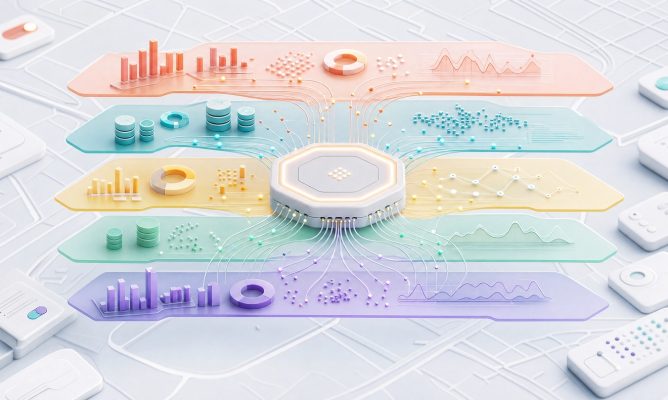







It links spatial data with clear visualisations, thematic layers and analytical insights, enabling users to quickly identify patterns and make better decisions.
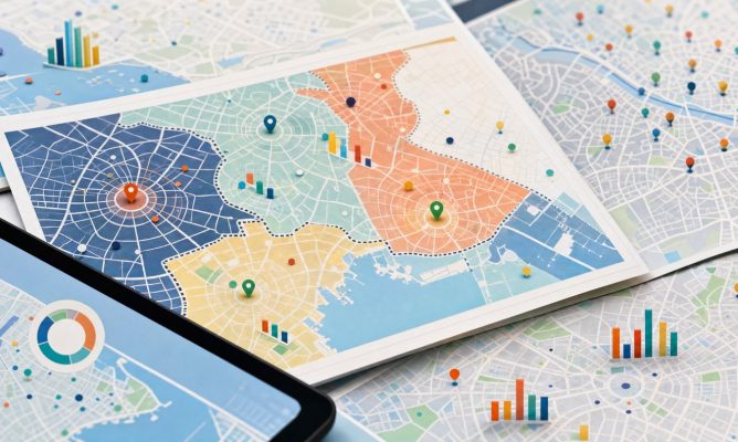
It enables users to quickly search, filter and analyse both spatial and register data. It helps to uncover connections, identify trends and gather information to support effective decision-making.
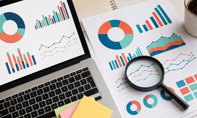
It links different types of data into clear, thematic layers, enabling information to be displayed, combined and analysed in a spatial context, all in one place.
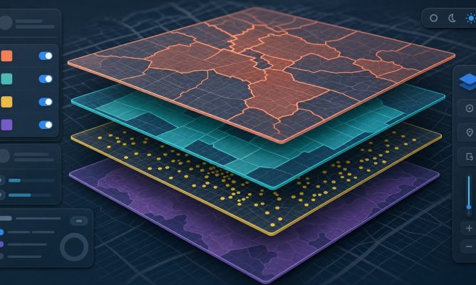
It enables sensors, meters and other IoT devices to be connected to a mapping environment, allowing real-time data monitoring and providing an immediate overview of the status of infrastructure and buildings.
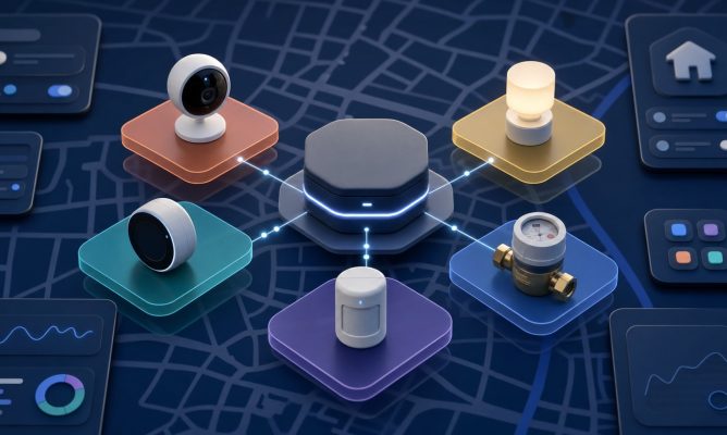
It connects IoT devices to a mapping environment and displays data in real time. It enables the monitoring of the status of infrastructure, assets and operational processes.