










SmartMap
SmartMap SmartMap
SmartMap
SmartMap SmartMap
SmartMap
An innovative mapping platform for local authorities and businesses
Designer-33
SmartMap

Are you interested in this service?

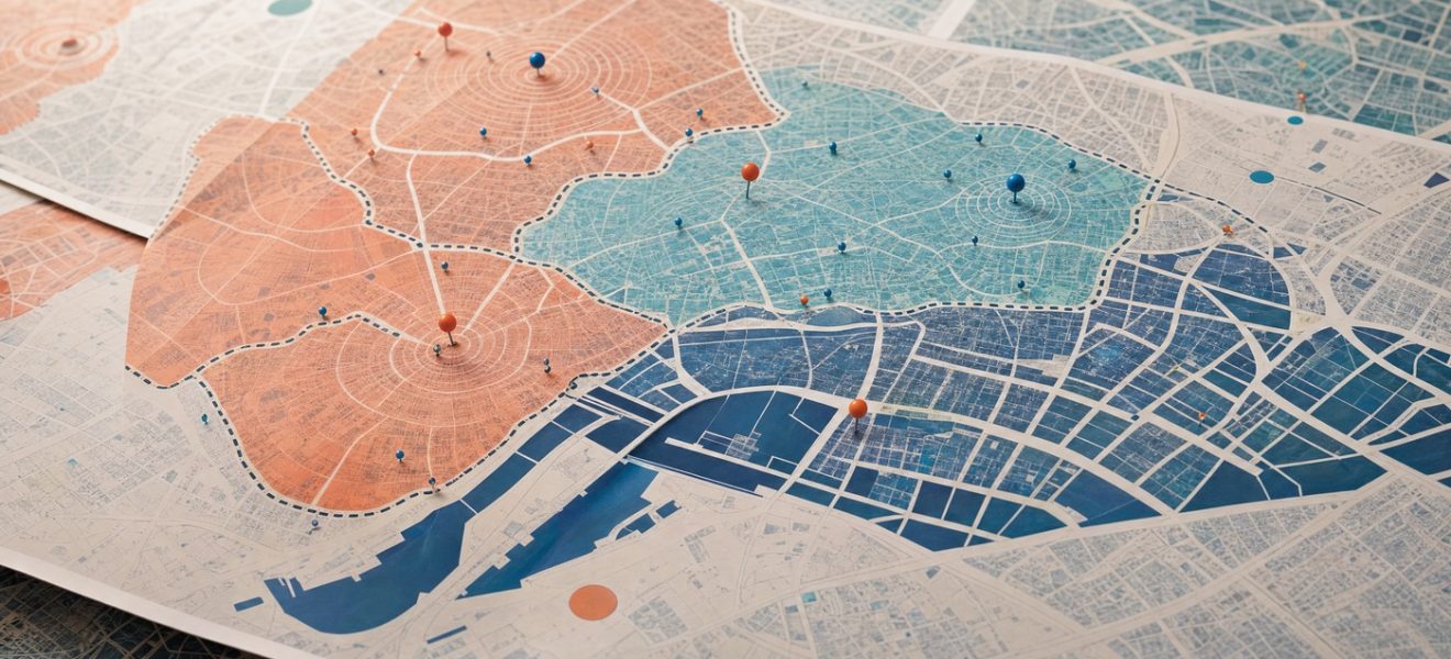
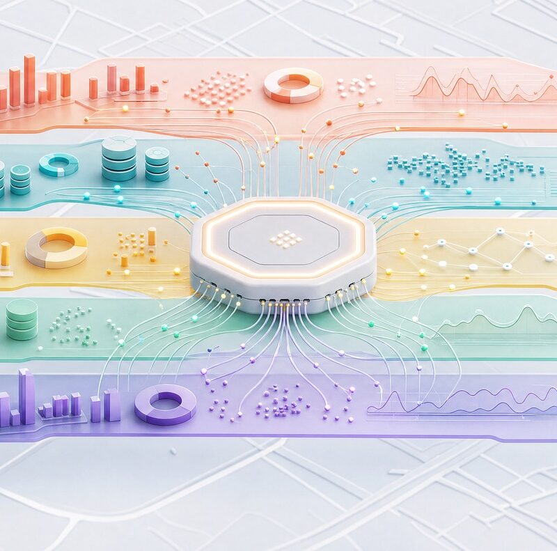
Data visualisation in a map environment.
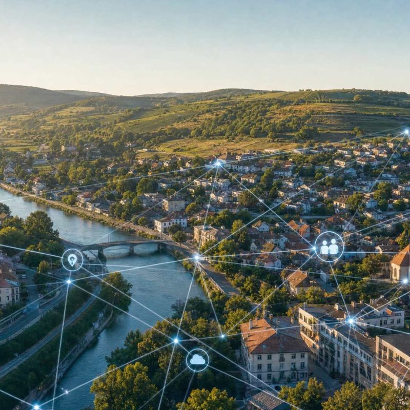
All data on the territory, assets and infrastructure in one place.

Clear data, simple controls, informed decisions.

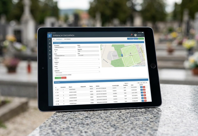
SmartMap is a modern tool for the collection, management and geospatial visualisation of various types of data.

1 +

Years of development
Discover the power of map data in a single, intuitive platform.

1 + + users

“We combine spatial data, modern technologies and specialist expertise to help you manage your land, assets and infrastructure more effectively.”

RNDr. Juraj Baráth /CEO

Follow us

For more smart solutions

What SmartMap offers

Mapping solutions

100%

Data transparency

95%

Optimisation

92%

SmartMap is a tool for collecting, managing and visualising geospatial data.

A single platform for cities, towns and businesses — no installation required, accessible directly in your browser.

It helps towns, local authorities and businesses to work effectively with spatial and cadastral data, plan development and communicate with the public — all on a single platform, accessible from anywhere.

Data collection and management

Land use and cadastral data in one place, continuously updated and ready for further processing.

For towns, villages and businesses

A basis for spatial development planning and easier communication with the public.

Online, no installation required

Intuitive control directly within the browser, with the option to link to external databases.

Benefits

What SmartMap actually changes in practice

Consistent and up-to-date data

All layers in one place, with no duplicates or inconsistencies.

Quick access to information

You’ll find the data you need in a matter of seconds, not hours.

Time and cost savings

Less manual work involved in processing and updating data.

Reliable decision-making support

More accurate data for spatial planning and development.

All data on the territory, assets and infrastructure in one place.
Clear data, simple controls, informed decisions.
All data on the territory, assets and infrastructure in one place.
Clear data, simple controls, informed decisions.

Features
and the system’s capabilities

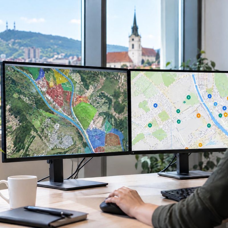
Display cadastral, technical and thematic layers as required.
Simple controls, colour schemes, and a clear layout without being overloaded with data.

Who do we help?

Who is SmartMap designed for?

Four different uses for a single mapping platform — for local authorities, property developers, businesses and the general public.

Local authorities

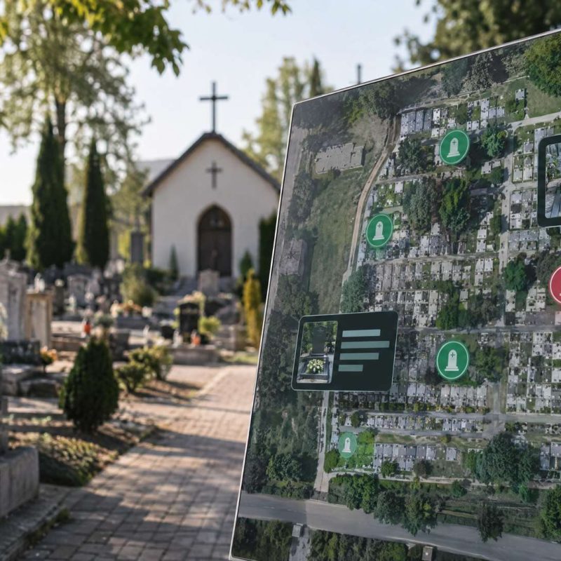
A comprehensive register of assets, infrastructure and spatial plans. Digital spatial management in one place.

Developers

A quick overview of land-use data, ownership structures and development opportunities.

Companies

Geographical analyses, site selection data and investment planning based on real-world data.

Citizens

A clear map providing information on events in the village, public services and changes to the local area.

Who is already using SmartMap?

What our customers say

Client satisfaction is our most important measure of success. Read on to find out how SmartMap It helps local authorities manage their data and assets more effectively.

contact us

Are you interested in finding out how SmartMap can simplify the management of your data and assets? Get in touch with us.

give us a call
+421 2 5930 7013
(Sales Department)

+421 2 5930 7011
(Client Area)
Contact
ErasData-Pro s. r. o.

Premises: 18 Desiata Street, 831 01 Bratislava

Registered office: Podlesná 608/8, 900 91 Limbach

Company registration number: 31400906
VAT number: 2020347637
VAT registration number: SK2020347637

Entry in the Commercial Register of the District Court for Bratislava I, Section: Sro, File No. 9453/B

Contact us


    Frequently Asked Questions

    Do you have any more questions?
    We have the answers to these questions.

    Can’t find the answer to your question? Please get in touch and we’ll be happy to help.

    Comprehensive_Integration_of_Light_Data_1400
    What is SmartMap?
    SmartMap is a modern mapping platform that enables users to clearly visualise, manage and analyse spatial data in one place. It helps organisations make better decisions based on accurate geographical information.
    Who is SmartMap designed for?
    SmartMap is suitable for local authorities, government organisations, infrastructure managers, property developers, utility companies and private organisations that work with location or map data.
    What sort of data can SmartMap display?
    The platform supports a wide range of spatial data, including cadastral data, technical infrastructure data, spatial plans, transport data, environmental layers and the user’s own data.
    Do I need to be a GIS expert to use SmartMap?
    No. SmartMap is designed to be intuitive even for users with no knowledge of GIS. Advanced users can make use of its advanced features, whilst ordinary users can access the information they need via a simple and clear interface.
    Can SmartMap be integrated with existing systems?
    Yes. SmartMap can be linked to existing databases, information systems and other data sources via standard integration interfaces and map services.
    Is my data secure in SmartMap?
    Data security is a priority. SmartMap utilises state-of-the-art security mechanisms, user permission management and access control to ensure that sensitive data is only accessible to authorised individuals.
    How can I start using SmartMap?
    Simply get in touch with us. Our experts will outline the available solutions, help you analyse your needs and propose an implementation that will suit your processes and data.