







Utility networks
A digital overview of the technical infrastructure in one place
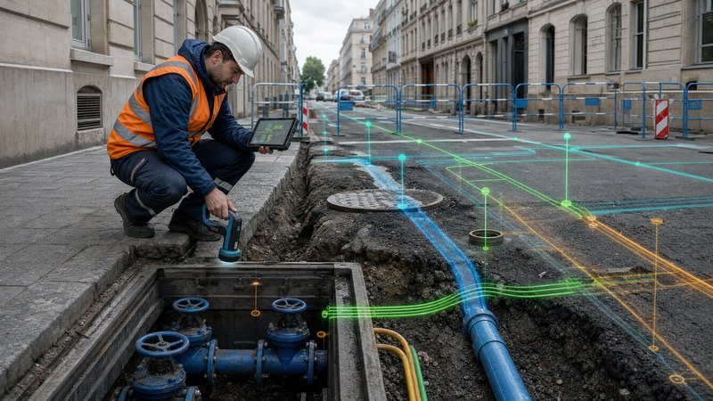
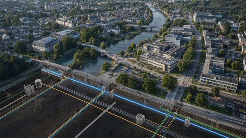
The Technical Networks module in the SMARTmap system provides comprehensive recording, management and analysis of technical infrastructure within a mapping environment. It enables local authorities, network operators and organisations to maintain an accurate overview of the condition, scope and operation of individual networks.
What the module does
Technical infrastructure is often recorded in inconsistent documents, on paper drawings or in separate databases.
- out-of-date or inaccurate network data
- lack of spatial context
- the complex coordination of maintenance and investment
- limited overview for crisis and emergency situations
SMARTmap creates a centralised and reliable database of technical networks.
Utility networks
Power and low-voltage networks
Other technical infrastructure
Module features
The module provides a comprehensive solution for the documentation, recording and management of utility networks and technical infrastructure. It enables the creation of detailed records for individual network elements, the recording of their technical and operational attributes, and the maintenance of a history of changes, revisions and updates. Thanks to the centralised database, administrators always have access to up-to-date and reliable information on the status of the facilities and assets under their management.
An important part of the module is the map display of networks and associated features. All elements are precisely located within a geographical area and can be displayed via thematic layers according to network type, operator, technical condition or other parameters. Users can utilise spatial queries, filters and analytical tools to quickly search for information and navigate the area effectively.
The module also supports the day-to-day operation and maintenance of infrastructure. It enables the recording of faults, breakdowns and service interventions, the planning of routine maintenance, inspections and overhauls, as well as integration with service tasks and work processes. Technical teams thus gain a comprehensive overview of both completed and planned activities and can manage asset maintenance more effectively.
Analytical and planning tools are key features. The module helps to identify conflicts between individual networks and technical infrastructure, provides the basis for investment projects, refurbishments and the modernisation of facilities, and supports both spatial and project planning. Thanks to these capabilities, organisations can make informed decisions based on accurate spatial and technical data.
In practice, the module is used by various user groups. Network administrators update technical data and monitor the status of individual infrastructure components. Technical services plan maintenance, coordinate service interventions and resolve any faults that arise. The organisation’s management receives analytical reports which serve as a basis for strategic and investment decision-making.
The module provides a wide range of outputs, including thematic maps of individual networks, overviews of faults and maintenance interventions, analytical data for design and investment processes, and exports to standard GIS and CAD formats. These outputs facilitate effective communication between technical teams, designers and management.
The solution includes extensive integration with external data sources and information systems. The module utilises reference map data, such as the land registry, parcels, address points, street networks, orthophoto maps, WMS and WMTS map services, as well as elevation and terrain models. It also enables integration with documentation systems and electronic archives, including project documentation in DWG, DGN and PDF formats, whilst supporting version control for technical documents.
For operational and maintenance purposes, the module can be integrated with helpdesk and ticketing systems, facility management solutions, and tools for planning inspections and maintenance work. This creates a unified environment for managing technical infrastructure, which increases operational efficiency, improves the quality of recorded data and supports long-term planning for the development of networks and equipment.