







Road signs
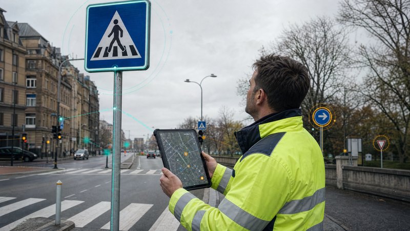

Digital recording and management of road signs in a single system
What the module does
The management of road signage is often based on out-of-date records, paper-based documentation or data scattered across various systems.
- incomplete records of road signs
- difficulty in identifying damaged or missing components
- complex maintenance and refurbishment planning
- the demanding task of preparing documentation for projects and audits
SMARTmap centralises all data on road signs within a single mapping environment and provides an up-to-date overview of the state of the transport infrastructure.
Road signs
Technical specifications
Documentation and status
Module features
The module enables the creation and management of a digital register of road signs, including the exact location, technical parameters, photographs and current condition of individual elements. Users can view both vertical and horizontal road signs on an interactive map and can easily search, filter and update the recorded data.
The solution includes support for the planning of maintenance, inspections and the renewal of road signage. The module records the history of interventions, inspections and repairs, thereby enabling the effective management of the life cycle of individual elements and the optimisation of road maintenance costs.
SMARTmap also supports the preparation and evaluation of proposals for transport measures. It enables the creation of design documentation, the analysis of traffic situations, the comparison of alternative solutions, and the preparation of documentation for approval processes. Thanks to its integration with spatial data, it provides a reliable basis for decision-making on the development and modernisation of transport infrastructure.