







Street lighting
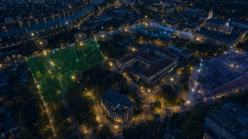
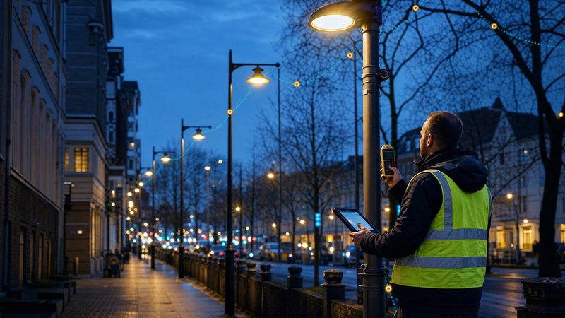
Modern public lighting management supported by map data
What the module does
The management of public lighting is often based on incomplete records and technical documentation that is not regularly updated.
- out-of-date records of street lights and lampposts
- complicated repair and maintenance planning
- limited insight into the technical condition of the equipment
- the demanding process of preparing the groundwork for modernisation and investment
SMARTmap centralises all public lighting data within a single system and provides an up-to-date overview of the status and operation of the entire network.
Lighting equipment
Technical infrastructure
Operational data
Module features
The module enables comprehensive inventorying and management of public lighting components, including luminaires, poles, distribution boards, cable routes and other elements of the lighting infrastructure. Each asset can have a detailed record containing technical parameters, photographic documentation, equipment documentation and a history of changes made.
An important part of the solution is the map view of all network elements. Users gain an immediate overview of the exact location of equipment, its technical condition, age, responsible manager and operational status. Thematic layers and advanced filters enable the rapid identification of problem sections or areas requiring modernisation.
The module supports the day-to-day operation and maintenance of public lighting. It enables the recording of faults, the planning of maintenance work, the monitoring of equipment inspections and checks, and the management of the history of repairs carried out. As a result, technical services gain a comprehensive overview of the network’s status and can plan maintenance work more effectively.
SMARTmap also provides analytical and planning tools to support investment decisions. It enables the analysis of the technical condition of equipment, the planning of infrastructure renewal, the assessment of the energy efficiency of lighting, and the preparation of documentation for refurbishments or the transition to modern technologies. All data is available within a unified geospatial environment that supports the long-term management and development of public lighting.