




Asset registration and management
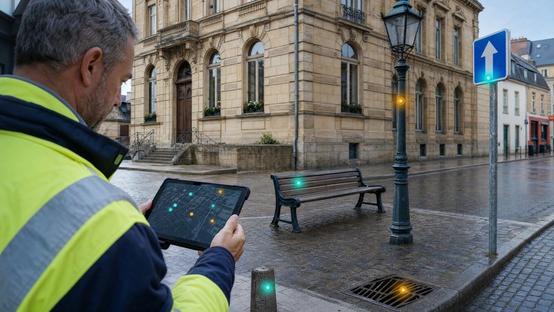

A comprehensive overview of your assets in one place
What the module does
Asset management is often spread across multiple records, spreadsheets and departments. The SMARTmap module changes all that.
- inconsistent asset records
- lack of spatial context
- out-of-date or incomplete data
- a limited overview of the status and use of assets
SMARTmap creates central register for all the organisation’s assets.
Real estate
Movable property
Specific passports
Module features
Module Asset registration and management It provides a comprehensive tool for the inventory, registration and management of assets within a unified geospatial environment. It enables the creation of detailed asset records containing technical, operational and ownership data, photographic documentation, related documents and a history of changes. Thanks to centralised record-keeping, users always have access to up-to-date and reliable information on the assets under management.
An important part of the solution is the map view of assets, which enables the precise location of properties and their display via thematic layers based on type, technical condition, manager or other attributes. Users can utilise advanced filtering, search and spatial analysis tools, which simplify navigation through the recorded data and support effective decision-making.
The module also records key operational information, such as ownership structures, the technical condition of properties, dates of inspections and checks, as well as the persons responsible for managing individual assets. All data is continuously updated and provides a comprehensive overview of the asset’s life cycle, from its registration through to maintenance, refurbishment or decommissioning.
A significant advantage is the integration with other information sources and systems. The module supports integration with land registry data, links to technical infrastructure records, and connections to modules relating to transport, the environment and other areas of land management. This provides a unified view of assets and their relationships with the surrounding environment.
In practice, the module is used by various user groups. Technical staff can update property data directly in the field, property departments manage ownership and contractual relationships, and the management of organisations or local authorities obtain clear map and table outputs to support strategic and investment decision-making.
The module provides a wide range of outputs and analyses, including thematic maps of assets by type and technical condition, overviews of investment needs, and data for budgeting and asset renewal planning. The results can be exported to XLS, PDF and standard GIS formats, which facilitates further processing, sharing and reporting.