






Green Space Register
Effective green space management based on accurate data and maps
What the module does
The management of public green spaces is often based on incomplete records, paper-based documentation or data scattered across multiple systems.
- out-of-date information on the condition of green spaces
- complicated maintenance and pruning planning
- inadequate overview of assets and costs
- the demanding process of preparing documentation for investment and regeneration projects
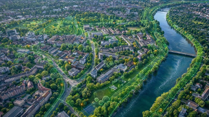
SMARTmap centralises all data on green infrastructure within a single mapping environment and provides an up-to-date overview of its condition and management.
Trees and woody plants
Green spaces
Technical and operational data
Module features
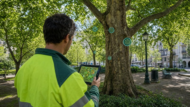
The module enables the creation and management of a digital register of all green spaces, including their exact location, basic characteristics, photographic documentation and current condition. Users gain an overview of trees, shrubs, parks, grassed areas and other green features on an interactive map, where they can easily search for, filter and update data.
The solution includes monitoring the health of trees and planning maintenance. The module supports the recording of expert assessments, pruning, felling, replacement planting and other interventions, whilst maintaining a complete history of the work carried out. This makes it possible to effectively manage the life cycle of green spaces and optimise the costs of their management.
SMARTmap also provides tools for planning the development of green infrastructure and supporting investment decisions. It enables the assessment of the condition of green spaces, the identification of sites suitable for regeneration, the preparation of documentation for planting projects, and the analysis of spatial relationships within an area. All information is available within a unified geospatial environment, which supports effective decision-making and long-term strategic planning.