





Crisis management
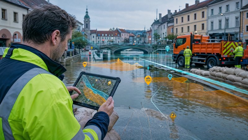

Spatial data for quick and accurate decision-making in crisis situations
The Crisis Management module in the SMARTmap system provides local authorities, institutions and crisis management teams with a unified mapping and analytical environment for the preparation, management and evaluation of emergencies. It integrates data on the territory, infrastructure, population and buildings into a single operational tool.
What the module does
In crisis situations, time, the accuracy of information and the ability to coordinate are crucial. However, data is often scattered across various systems and documents.
- inconsistent and out-of-date contingency plans
- a lack of an overview of areas and buildings at risk
- limited ability to find one’s way in the field during an operation
- the complex task of coordinating units and resources
SMARTmap creates central operational overview of the area for crisis management.
Natural hazards
Technical and industrial accidents
Safety and emergency incidents
Module features
The module enables users to create and manage crisis maps and scenarios that provide an overview of risks, vulnerable areas and the potential impacts of emergencies. Users can work with thematic hazard maps, model the progression and consequences of crisis situations, and prepare response or evacuation scenarios for various types of incidents.
The solution includes a register of facilities and resources that are important for crisis management. The module provides an overview of critical infrastructure elements, shelters, assembly points, equipment and material resources that can be utilised in the response to emergencies. All information is available within a unified geospatial environment, which significantly simplifies coordination and decision-making.
In terms of incident management, the module enables the monitoring of deployed units, the pinpointing of incidents directly on a map, and the sharing of up-to-date information amongst the organisations involved. Crisis management teams thus gain a comprehensive, real-time overview of the situation, whilst emergency services have access to the precise data required for an effective response on the ground.
An important part of the system is the management of documents and plans. The module enables the storage and sharing of digital crisis and evacuation plans, links them to internal guidelines and operational procedures, and ensures they are kept up to date, including the tracking of individual versions. As a result, users always have access to up-to-date and verified documentation.
The solution supports the work of crisis management teams, which coordinate response operations based on up-to-date map data; emergency services, which require precise spatial orientation; and the management of local authorities and institutions, which make decisions based on reliable information. The module also provides outputs in the form of flood and evacuation maps, maps of at-risk buildings and populations, situational overviews for crisis management teams, and reports designed for printing or operational use.
For maximum efficiency, the module can be integrated with geospatial registers, orthophoto maps, utility networks, building interior mapping, warning and information systems, control and operational platforms, and CCTV systems. It also supports integration with address registers, population registers in accordance with legislation, and registers of assets and properties. Secure collaboration between organisations is ensured by role-based access rights, change and event auditing, and the ability to share data between authorised entities.