







Interior mapping
A digital overview of buildings for security, operations and emergency situations
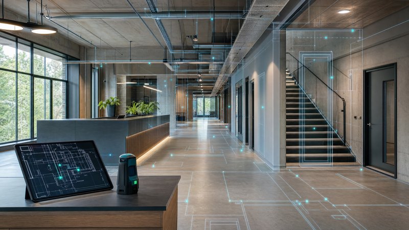
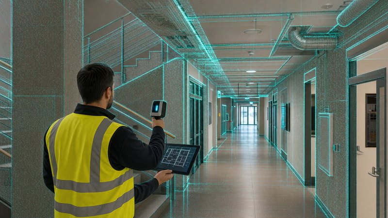
The Interior Mapping module in the SMARTmap system enables a detailed digital representation of the interior spaces of buildings, including technical, security and operational infrastructure. It is designed for large office buildings, government ministries, hospitals, industrial sites and large institutions.
What the module does
Building management is often based on structural drawings and out-of-date documentation, which are not available in critical situations.
- the lack of a comprehensive overview of the interior spaces
- out-of-date evacuation and safety plans
- difficulty in finding one’s bearings during emergency operations and accidents
- separate records of technical installations
SMARTmap creates a dynamic digital model of building interiors, available in real time.
Premises
Safety features
Technical installations
Module features
The module provides a comprehensive digital overview of buildings and their infrastructure through accurate digital floor plans. It enables users to navigate easily between individual floors and work with thematic layers categorised by infrastructure type. As a result, all important information about the building is available in one place in a clear and intuitive format.
A key component of the module is support for safety and crisis management. Users have immediate access to evacuation plans, safety maps and scenarios for accidents or incidents. The module also provides support to emergency services, enabling them to quickly find their way around the building and respond more effectively to emergencies.
In the field of operations and facility management, the module is used to keep records of technical equipment, plan inspections and regular checks, and track the history of interventions and maintenance. Facility managers can effectively manage a building’s technical equipment and ensure its smooth operation. Security managers use the system to manage evacuation and contingency plans, whilst emergency services gain immediate access to the up-to-date information required for their response.
The module generates a range of outputs and analyses, including interactive building floor plans, safety and evacuation maps, technical overviews of facilities, and files for printing or use in contingency plans.
An important feature is its extensive integration with existing systems and documentation. The module can work with BIM and CAD data in DWG, IFC and PDF formats, as well as with design and construction documentation. It supports integration with security systems, including fire protection systems, electronic fire alarm systems (EPS), electronic security systems (EZS) and CCTV systems. It can also be integrated with facility management systems, helpdesks and service tools, as well as with crisis management modules and emergency response plans.
The module’s main benefits include improved personal safety, faster and more effective responses to emergencies, better management of buildings and technical facilities, and access to up-to-date information for decision-making and operational management.
The module is primarily intended for ministries and government institutions, hospitals and schools, as well as large administrative and industrial premises where it is necessary to manage operations, security and emergency preparedness effectively.