What is GIS and why do modern local authorities use it today?
Towns and local authorities deal with a vast amount of information every day. They manage assets, roads, street lighting, utility networks, green spaces, taxes and investment projects. It is becoming increasingly difficult to make sense of such a large volume of data without modern tools.
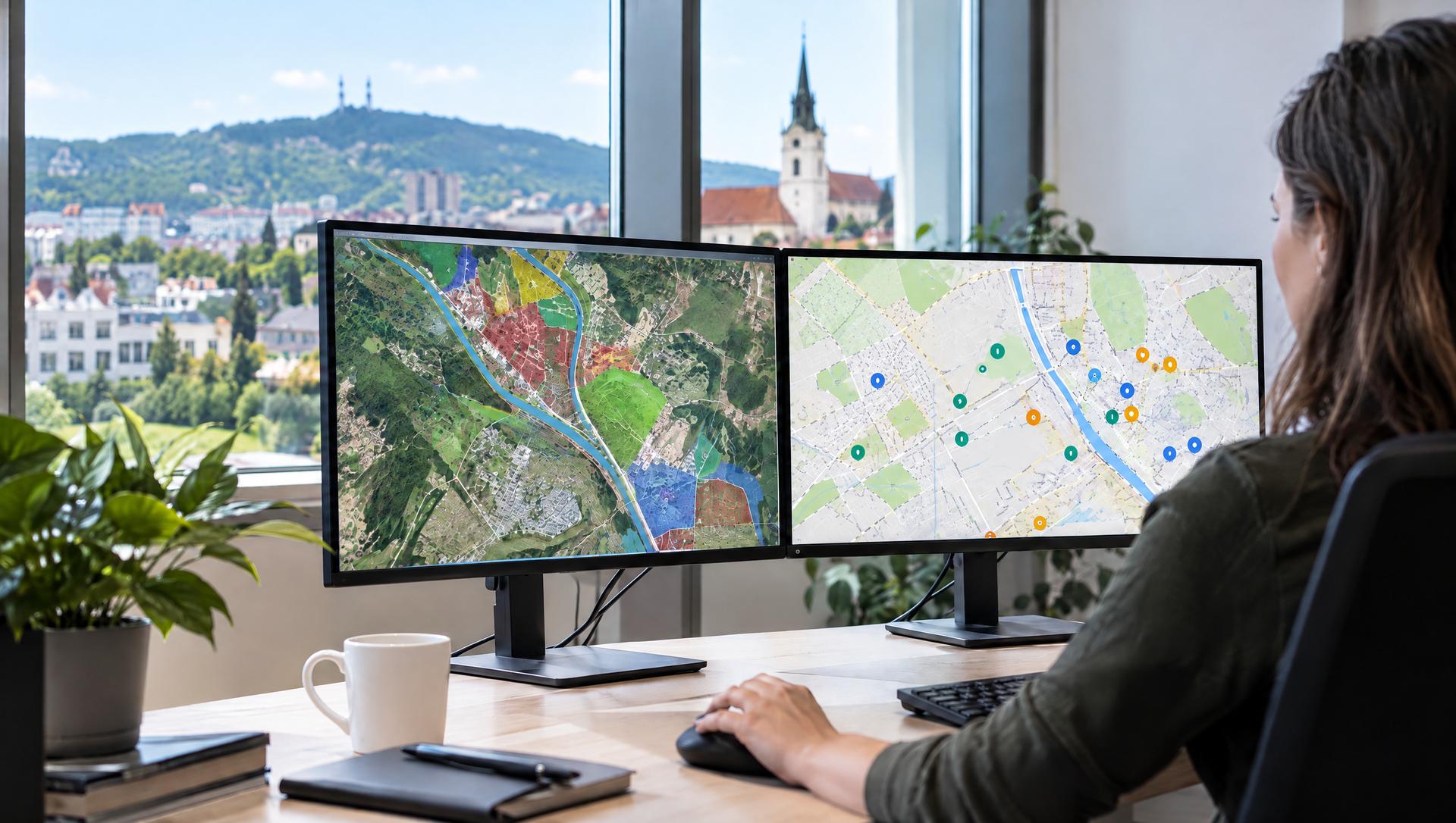
Geographic Information Systems, known by the acronym GIS, provide a way of linking all this data to a specific location on a map. Instead of lists and tables, the user gains a visual overview of the area and can immediately see all the important connections.
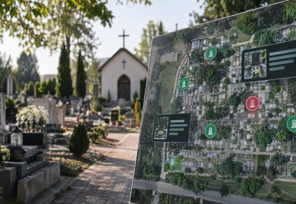
GIS enables information from various registers to be integrated into a single environment. Data on assets, utility networks, transport infrastructure and the environment all become part of a single digital ecosystem.
How does GIS help in practice?
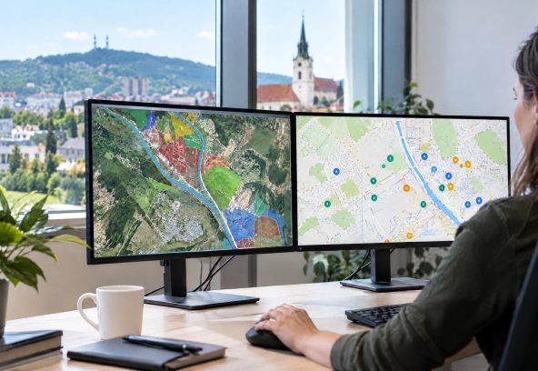
Thanks to the map view, users can plan investments more easily, coordinate maintenance, identify problem areas or prepare development projects. The information is presented clearly and in context, which makes it much easier to interpret.
GIS is also becoming a communication tool between individual departments, the organisation’s management and the public.
The benefits of GIS for local authorities
all the information in one place
clear map interface
more effective investment planning
simpler asset management
support for strategic decision-making
GIS as the foundation of digital local government
Modern local authorities need to process ever-increasing volumes of data quickly, efficiently and in context. GIS offers the ability to link information to a specific location and create a clear, organised environment that supports both day-to-day management and long-term planning.
SMARTmap enables local authorities to make full use of the potential of geographic information systems. It brings together data from various areas into a single user interface and helps organisations make decisions based on accurate information, rather than on guesswork.